Our Team
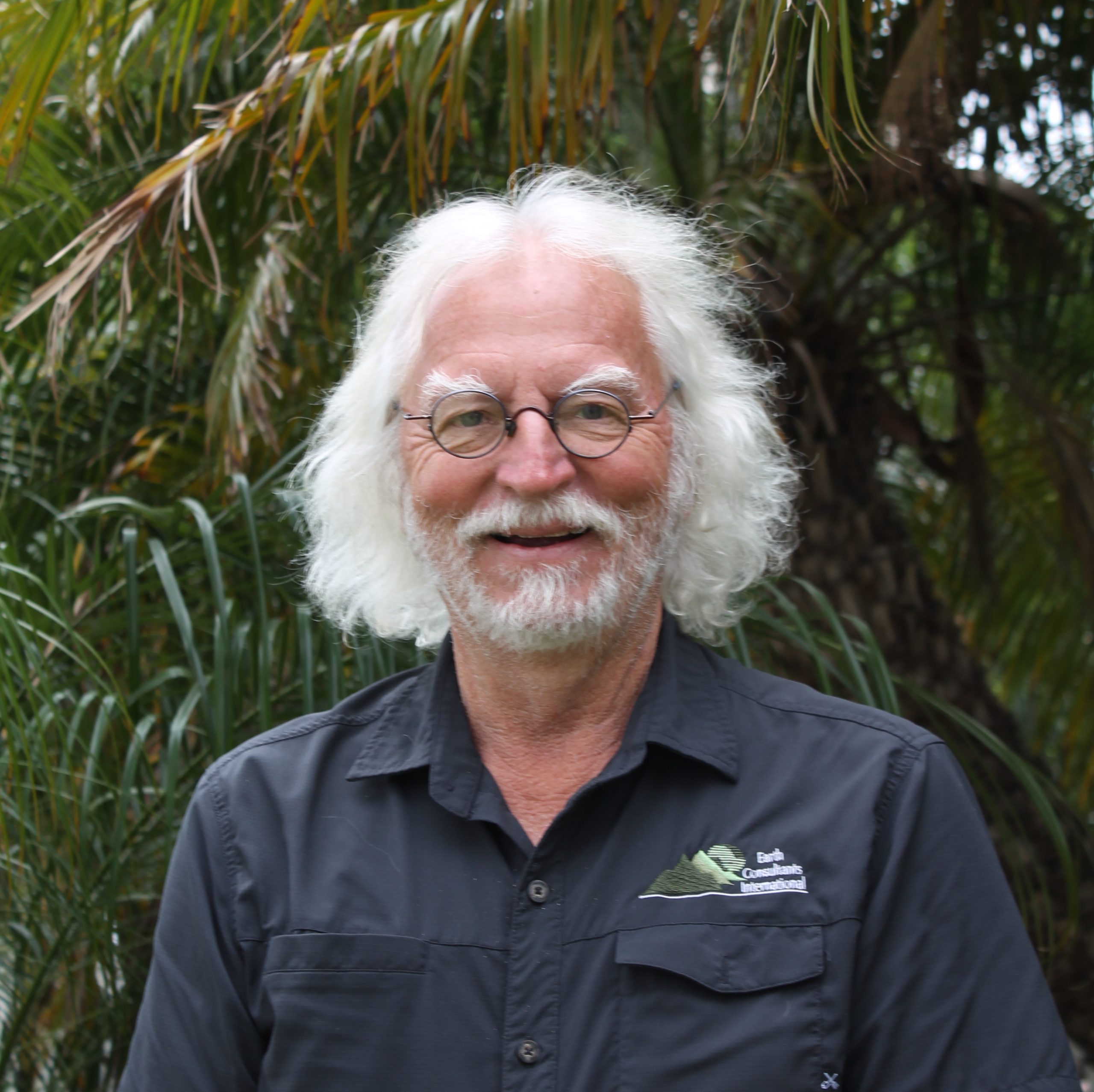
Eldon Gath
President and Senior Partner
Mr. Eldon Gath, Founder and President of ECI, has been a leader in the engineering geology profession, both technically and professionally, for over 30 years. He has developed award-winning public safety hazard management plans; led geological and seismic investigations for dozens of $250M-$5B development and infrastructure projects; represented both plaintiffs and defendants in civil litigation cases involving upwards of $3B in claims; written dozens of published papers, including two “papers of the year” awards; given hundreds of technical talks to colleges, professional meetings, and civic organizations, including as a “distinguished lecturer in applied geology;” and has served as the President of the Association of Environmental and Engineering Geologists and the North American Vice President for the International Association for Engineering Geology and the Environment. His projects have spanned ten countries from Turkey to Papua New Guinea, including quantifying the seismic history and hazard of central Panama for the Panama Canal expansion project. His experience includes paleoseismic investigations of dozens of faults, coastal LNG siting, municipal and county hazard management plans, dams, canal and tunnel design studies, landslide and debris flow hazard investigations, highway and bridge design investigations, seismic design models, wind turbine siting studies, and dozens of land development planning and environmental impact studies. He is a Past-President and Honorary Member of the South Coast Geological Society, Past-President and Life Member of the Association of Environmental and Engineering Geologists, and a Fellow of the Geological Society of America.
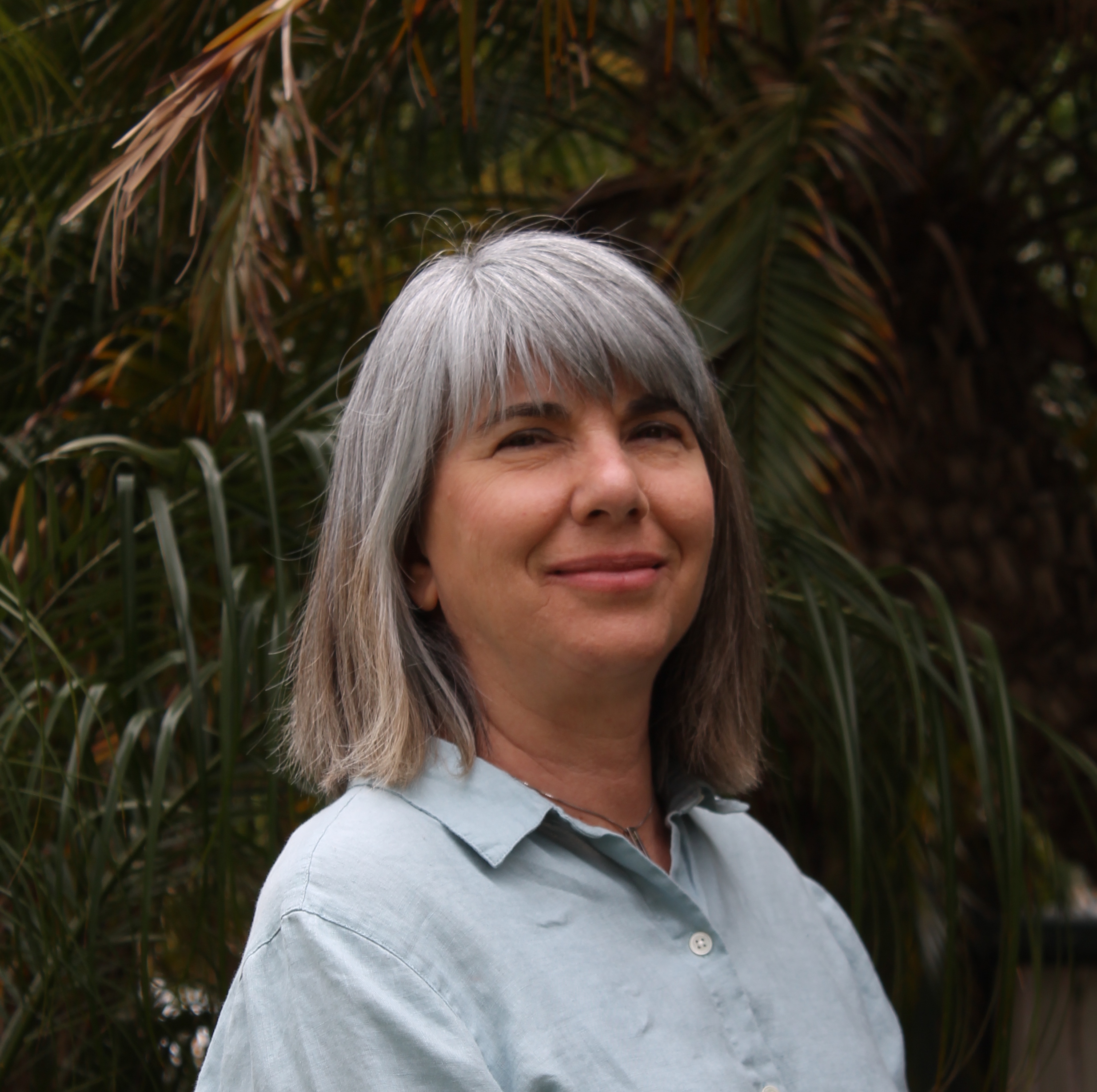
Tania González
Vice-President and Senior Partner
Ms. Tania González, Founding Partner of ECI, has more than 30 years of experience in site evaluation and geological feasibility studies, with an emphasis on using soil-stratigraphic and geomorphic techniques to estimate the age of geological deposits and surfaces. She uses these methods to evaluate the activity of faults and assess the archaeological potential of sedimentary deposits. She has coordinated or managed and participated in complex field studies in Turkey, Mexico, Honduras, Costa Rica and Panama, and throughout southern and central California. She is proficient in field mapping, logging and documenting trenches and excavations, drilling, and down-hole logging of bucket borings for landslide and fault studies. She also has extensive experience in the interpretation of cone penetration test (CPT) data for fault investigations, and numerical and relative age dating techniques. Projects that she has worked on include dams, canals, LNG storage tanks, schools and colleges, hospitals, pipelines, manufacturing facilities, and residential and commercial developments. Ms. González has also managed and prepared dozens of urban planning studies, including city and county Safety Elements, Local Disaster Mitigation Plans, Specific Plans, and Environmental Impact Reports with an emphasis on geological hazard mitigation and vulnerability assessments. She has hosted many public workshops and made presentations summarizing the findings of these studies to City Councils, City Planning Committees, General Plan Advisory Committees, and State agencies. Ms. González has authored or co-authored dozens of publications, and has given presentations at national and international meetings. Ms. Gonzalez is often retained to edit geological reports and papers, and is also fluent in Spanish.
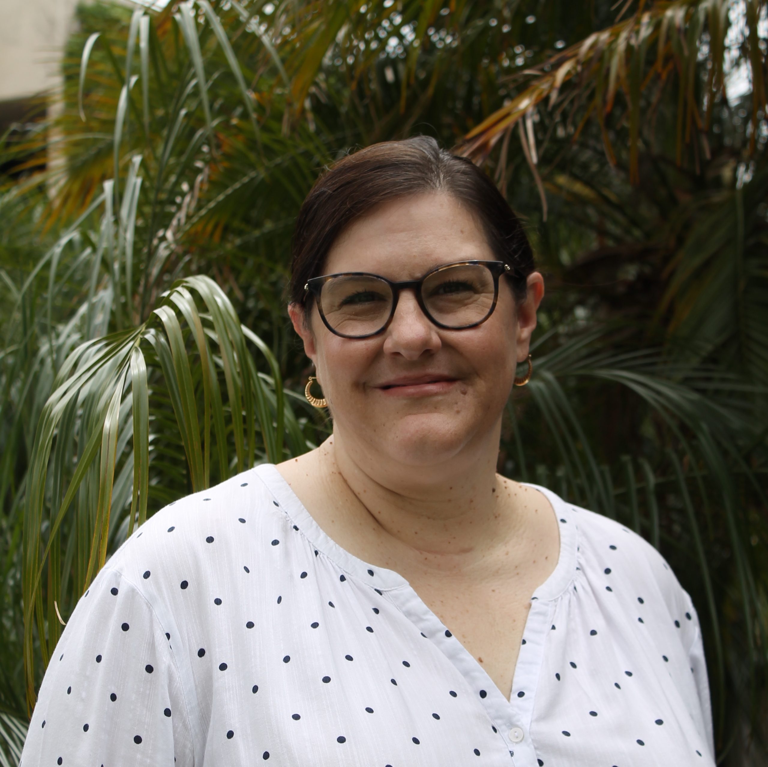
Cristin Allison
Office Manager
Ms. Allison, who has a BS in Business Administration from the University of the Pacific, is a critical member of ECI. She is in charge of payroll, accounts payable, accounts receivable, purchasing of office equipment and supplies, and day-to-day management of the office. Ms. Allison works part-time and is typically available via phone or email on Tuesdays, Wednesdays and Thursdays.
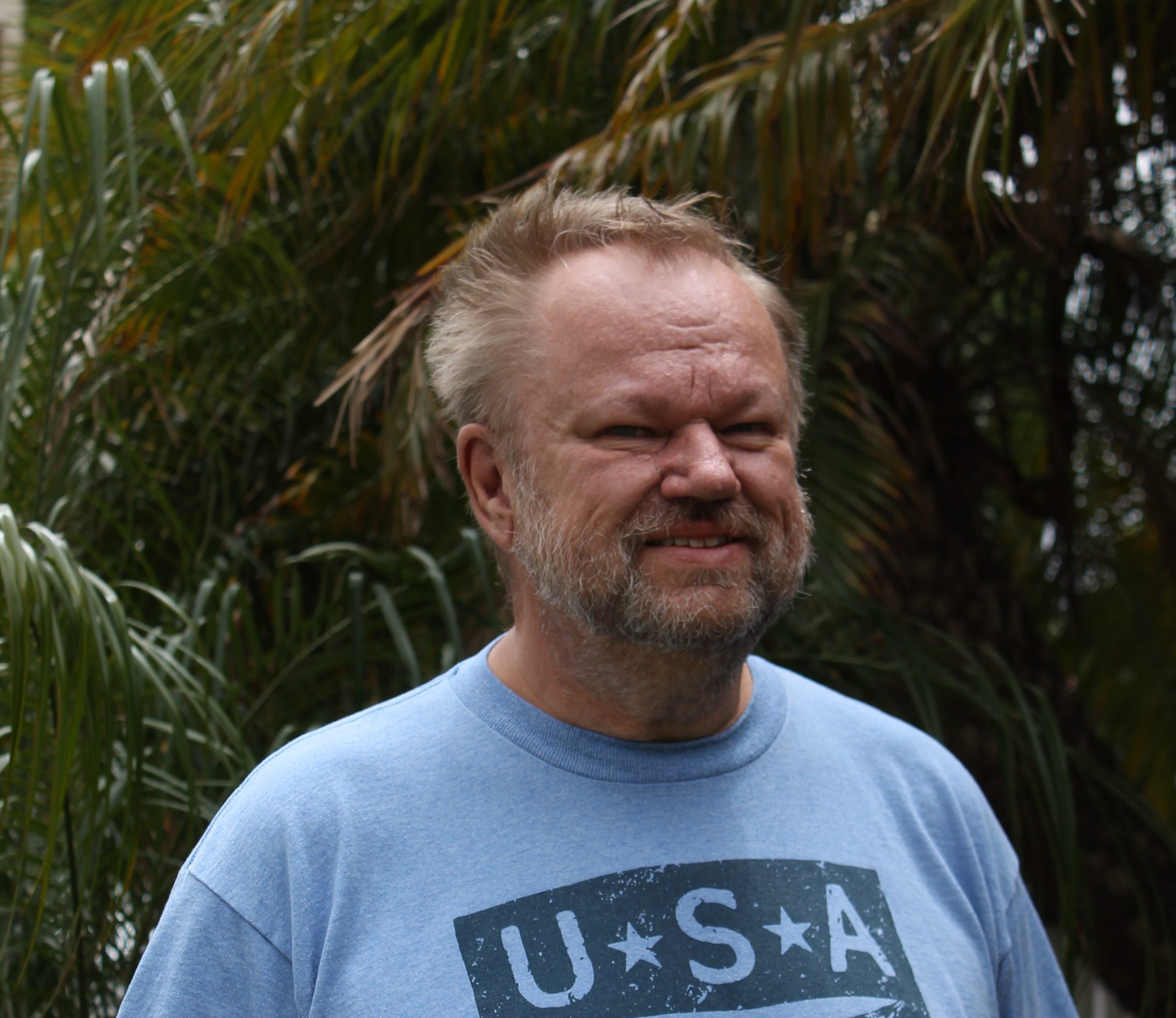
Anders Hogrelius
Mr. Anders Hogrelius specializes in economic and structural geology and tectonics, and is a pioneer in the use of Satellite Interferometry (InSAR) for the mapping of surface deformation. He has worked in several Scandinavian countries for a number of mineral exploration companies, where he managed teams of geologists and field hands, prospecting for copper, zinc, iron, nickel, gold, silver, platinum and tungsten. As an exploration geologist he has been responsible for mapping, interpreting geological and geophysical data, planning geophysical surveys and drilling programs, and permitting and coordinating with landowners and authorities. Through his membership in the Australian Institute of Geoscientists, AIG, he is qualified to act as a Qualified Person (QP) pursuant to Canadian National Instrument 43-101 and as a Certified Professional (CP) pursuant to the Australian JORC code. Mr. Hogrelius uses differential InSAR to measure and monitor ground surface deformation as a result of fluid (groundwater, petroleum, gas) extraction and recharge, slope movements, and active tectonics (faulting and folding). He is also a licensed UAS (drone) remote pilot and uses drone-obtained images to generate digital elevation models, evaluate vegetation growth, calculate remedial grading quantities, and map difficult terrain. He is well versed in the use of Trimble and Ashtech GPS systems and has an excellent knowledge of several GIS and CAD systems including MapInfo, Geosoft, AutoCAD, Autodesk MAP, ArcVIEW/ArcGIS and ENVI.
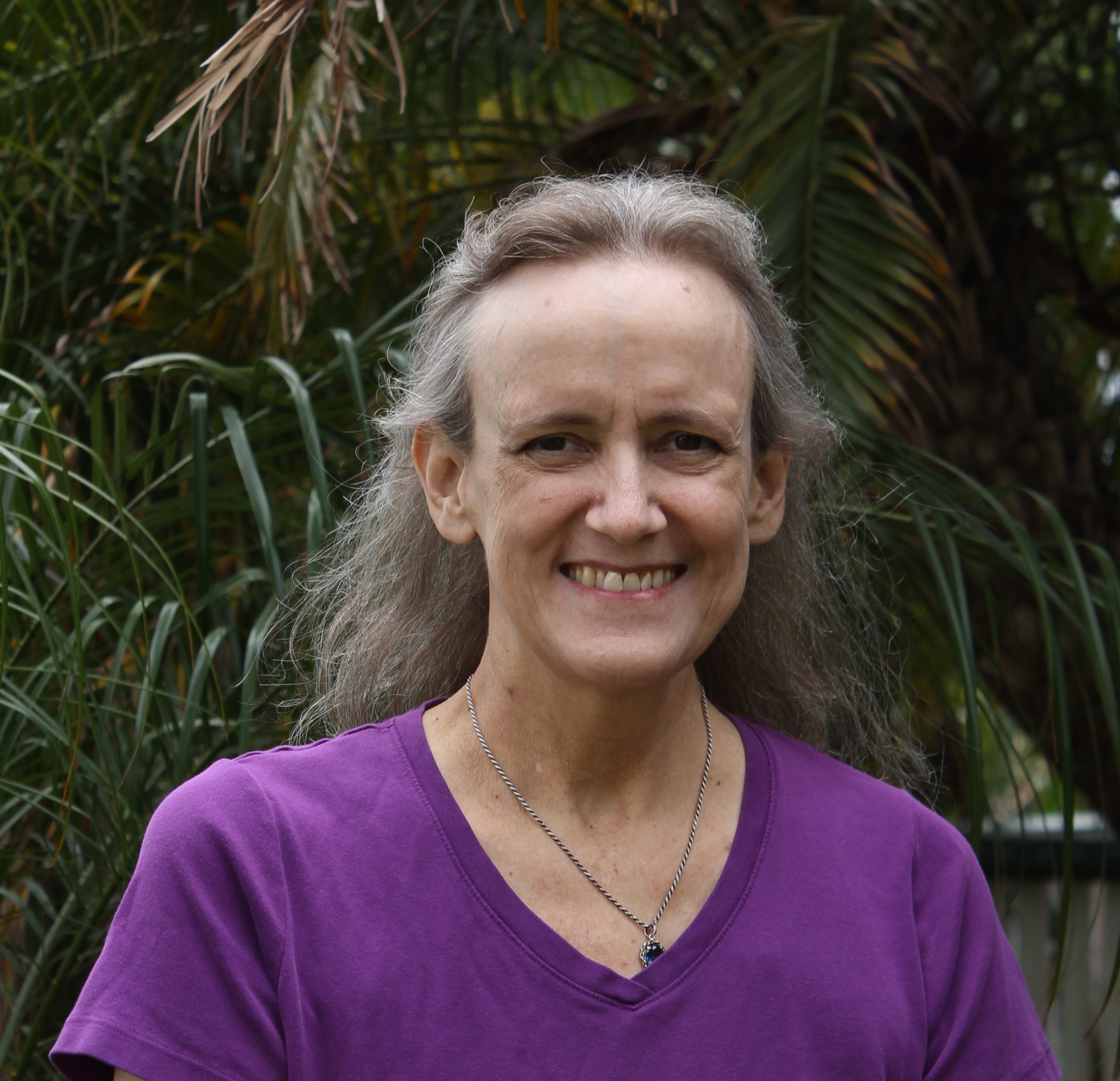
Maria Herzberg
Ms. Maria Herzberg has more than 22 years of experience in geological studies with an emphasis on Quaternary geology, soil stratigraphy, and geomorphology. She has participated in dozens of fault investigations in southern California, Mexico and Panama, documenting geological field data and collecting soil samples for numerical and relative age estimation. Faults that she has helped to evaluate include the Hollywood, Santa Monica, Newport-Inglewood, San Jacinto, Elsinore, Garlock, San Andreas, Palos Verdes, Johnson Valley, Kickapoo and Homestead Valley. In addition to her field experience, Ms. Herzberg is a Geographical Information Systems (GIS) specialist, preparing most of the GIS-based graphics for ECI’s fault investigation reports, Safety Elements of the General Plan, and Local Hazard Mitigation Plans. As part of this effort she compiles, digitizes and manages GIS data, and creates the databases, metadata files and workspaces for the maps, figures and presentation materials prepared for these projects. She is skilled in both PC and Macintosh systems and is proficient with various drafting (Canvas and Adobe Illustrator), and GIS programs (MapInfo, Global Mapper, Discover and ESRI products). She also uses Agisoft Photoscan to generate three-dimensional models of trenches from field photographs.
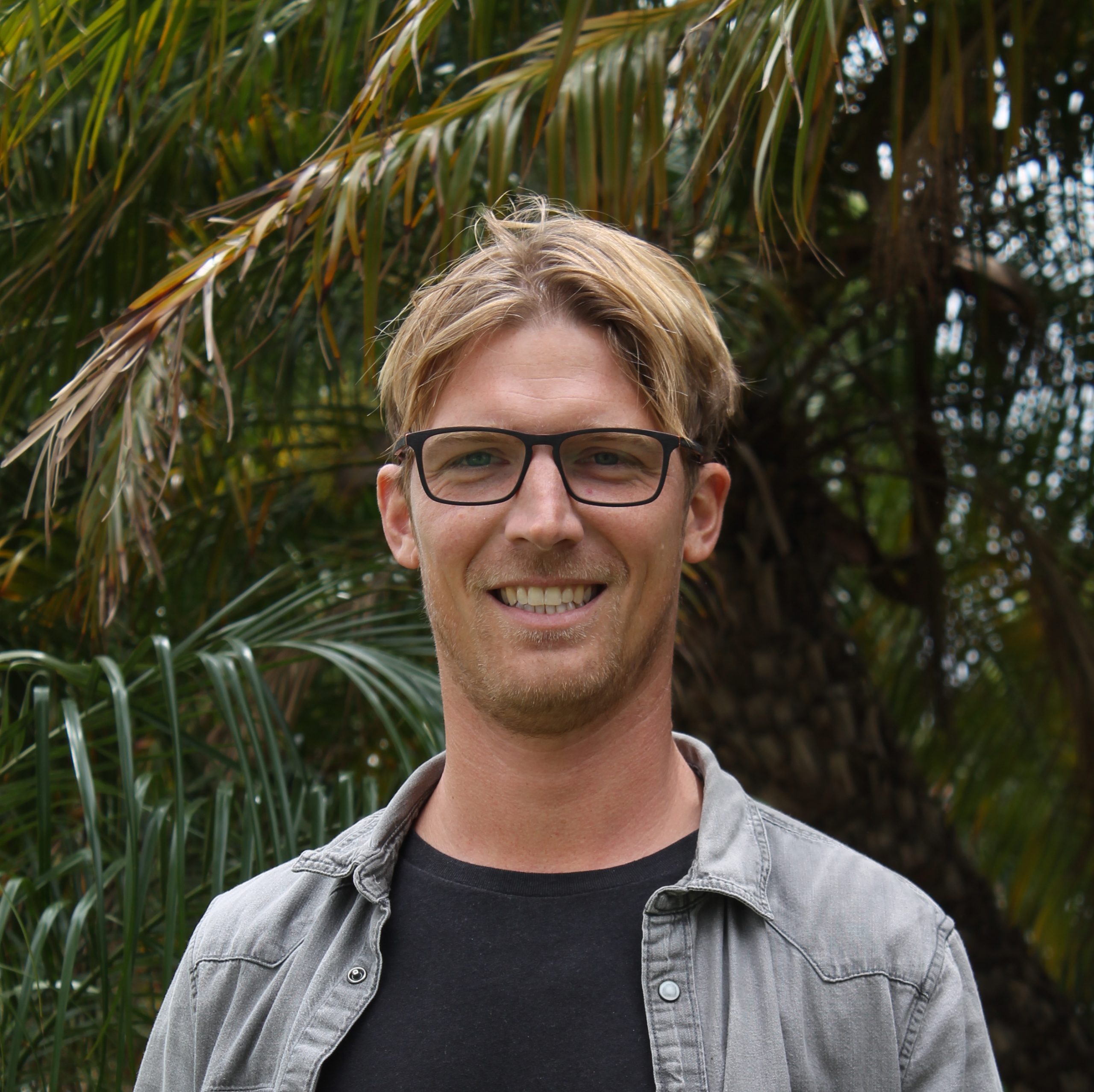
Yannick Wirtz
Yannick Wirtz’ expertise focuses on structural geology, petroleum systems, and active tectonics in southern California. He completed an MS in Geology at Long Beach State University after completing a BS degree in Applied Geology at RWTH Aachen University of Technology in Germany. Mr. Wirtz worked with the Monterey and Related Sediments (MARS) research group, a petroleum industry affiliates program on the Monterey Formation of California, combining in his research field methods, structural geology, sedimentology, and tectonics. As part of his BS degree thesis he conducted climate research at UC Irvine. At ECI, Mr. Wirtz has gained experience in the practice of geology and engineering geology in southern California. Since 2016, Mr. Wirtz has worked as a full-time consultant, fine-tuning his skills in geologic hazard recognition and mitigation, interpretation of geologic structures, GIS database management, terrain modeling, graphics and map generation, data presentation, report writing, and website development. Throughout his academic and professional career he has been active in the geology community worldwide, presenting award-winning talks, and leading field trips at several science symposia and professional societies.
