LiDAR Modeling and Analysis
ECI utilizes industry standard LiDAR processing software to generate precise high-resolution maps of the earth’s surface. It is an essential tool to analyze and better understand geologic hazards and resources.
- Fault Investigations
- Landslide Investigations
-
Find stream channels, measure gradients
-
Characterize land cover
-
Flood models
-
Archeological investigations
-
Define watersheds
-
Map landforms and geologic units
-
Monitor changes in landscape
- 3 dimensional analysis of landforms
Modeling Products
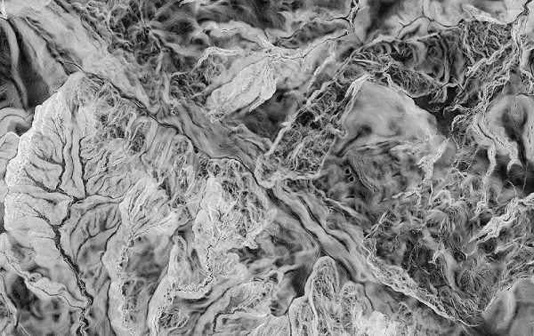
Digital Elevation Model

Elevation Contours
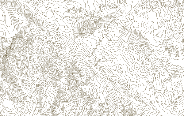
10 feet of elevation between contour lines
Hillshade Model
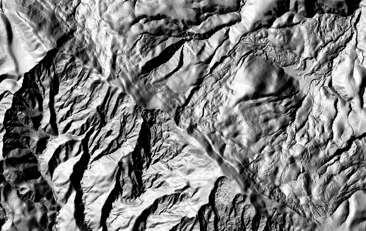
Topography lit from the northwest
Aspect Model
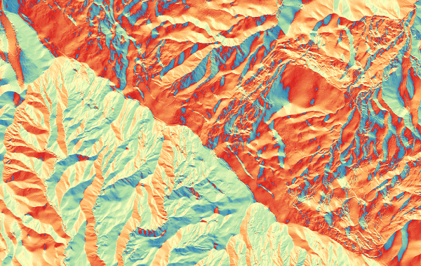
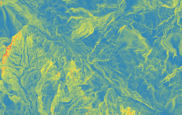
Slope Map
Ruggedness Map
Examples for LiDAR Usage
Landslides
Landslide Terrain
2019 Google Earth
Landslide Terrain
2018 LiDAR